
Cargando...
Trouvez
visualisation
Learn the lakes of the US by clicking on them.
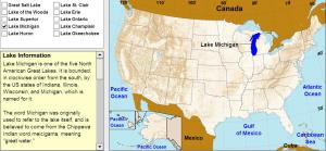
Click on the correct lake.
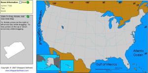
Drag, rotate and size each state onto the map. Hard!!!
Click on the correct bay or sea.
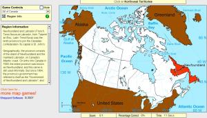
Click on the correct province or territory. You may select regions.
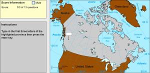
Type the first three letters of the province or territory's name (no outlines given).
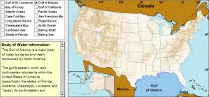
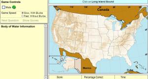
Learn the bays, seas, and other ocean features around the US by clicking on them.
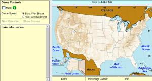
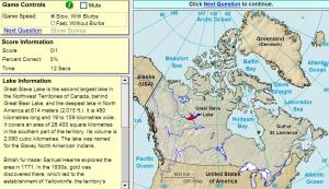
Click on the correct lake.

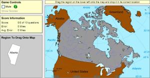
Drag each province or territory onto the map by region.
Drag each province or territory onto the map (both disappear).
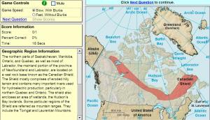
Click on the correct geographic region.
Ajouter à Didactalia Arrastra el botón a la barra de marcadores del navegador y comparte tus contenidos preferidos. Más info...


